

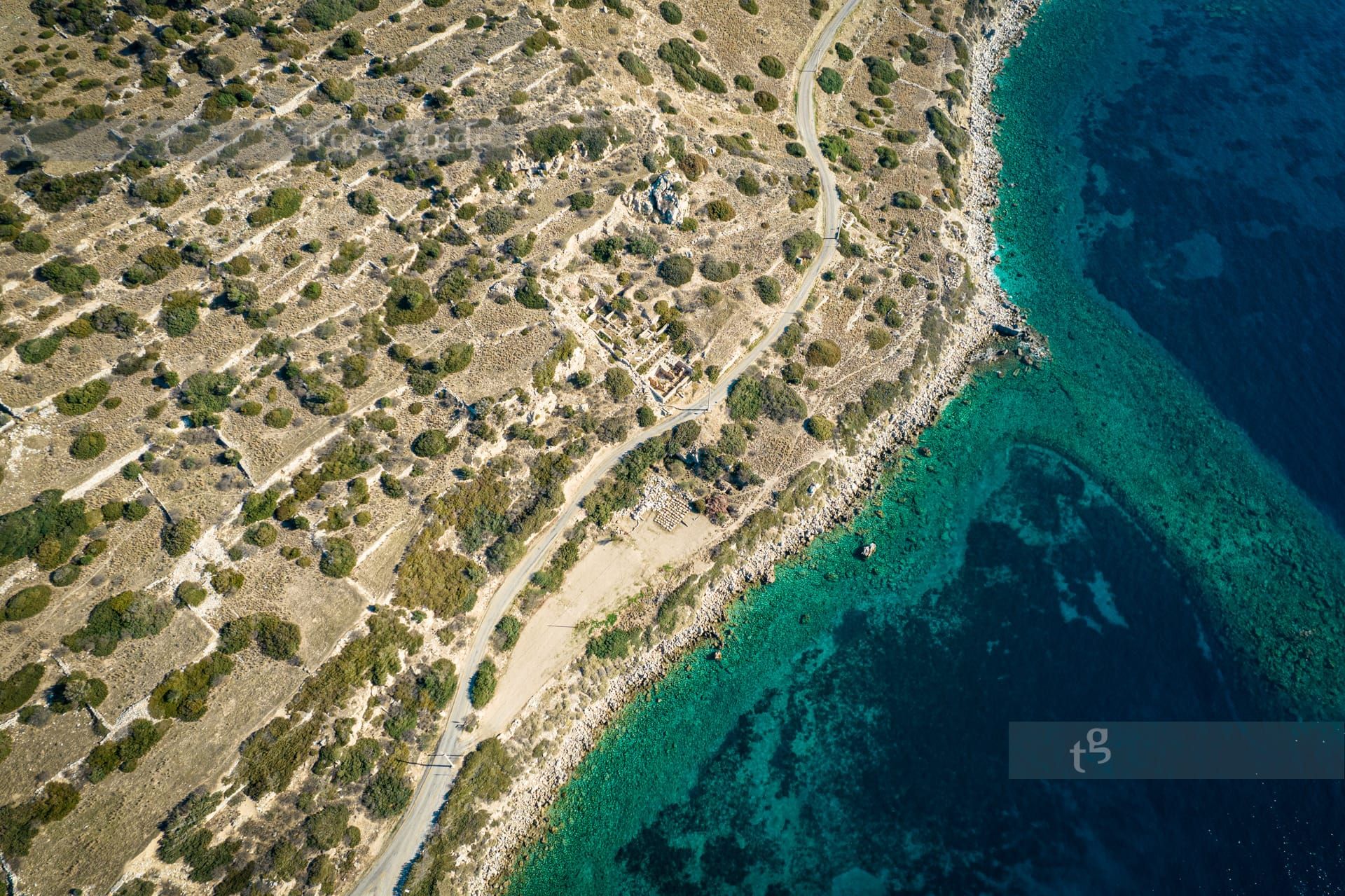
It may sound paradoxical, but the best approach to the imposing harbor city is by vehicle on the coastal road winding through the largest necropolis of antiquity—this is the only road available.
Several kilometers before reaching the city area with its two harbors, numerous archaeological traces are visible to the arriving travelers—not perhaps to the driver, who must concentrate on the road along the steep slopes, but likely to the passengers.
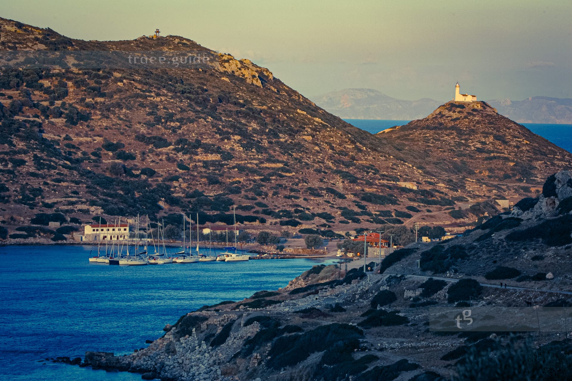
Arriving by ship has its charm; one anchors as if in a museum, opposite the small theater, in the South Harbor, which is separated from the northern harbor basin by a land connection. Scientists assume that a canal once connected the two harbors, though this has not yet been proven. However, it would have been a significant nautical advantage for ships at that time, as the fierce Meltemi wind still makes the cape difficult to navigate today. Deveboynu Burnu, the Turkish name for the cape, forms the western end of the Datça Peninsula, which extends nearly 60km into the Aegean Sea and ends at the longitude where the northern island of Kos begins its eastern end. It is this proximity to the island that lent Knidos its significance as a harbor in antiquity. Thus, ships could make their way westward and northward in daily stages via Rhodes, Loryma, Symi, Kos, and Halicarnassus, with the Meltemi blowing most fiercely at Knidos in the summer. In the past, the sight of the necropolis was probably imposing for incoming ships, though today the ruins are barely recognizable from a passing boat. Only the monument, which once bore the six-ton marble lion now adorning the entrance hall of the British Museum, can be identified if one knows that it lies a bit west of the harbor. Knidos is diverse in its archaeology, much has been excavated, but more still lies beneath the earth.